
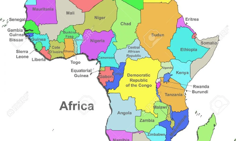
The United Nations General Assembly has backed an African-led campaign to encourage governments, schools and technology companies to stop using maps that make Africa appear smaller than its actual size.
The resolution was adopted on Friday, with 164 member states supporting it. The United States voted against it, while Estonia, Georgia, Lithuania, Moldova, Serbia and Ukraine abstained.
Togo led the negotiations after an African Union-backed campaign against the 16th-century Mercator projection, the world’s most widely used map.
Togo’s Foreign Minister, Robert Dussey, said a fair map does not change geography, “it changes how we see the world”.
The resolution described correcting map distortions as an act of “cognitive justice and memorial reparation”. It also pointed to the Equal Earth projection, created in 2018, as a more accurate way to show the relative size of land areas.
The Mercator projection was not banned. Instead, countries were urged to consider Equal Earth and other equal-area maps while teaching the limits of showing a spherical planet on a flat surface.
The U.S. said the resolution “mocks the work and purpose” of the U.N. and called it part of “the more radical ideological project it belongs to.”
France said it planned to stop using Mercator for its world maps, while Ukraine backed efforts to correct historical distortions but raised concerns about how Equal Earth maps show Ukrainian territory occupied by Russia.
